
Location to Intelligence – geospatially
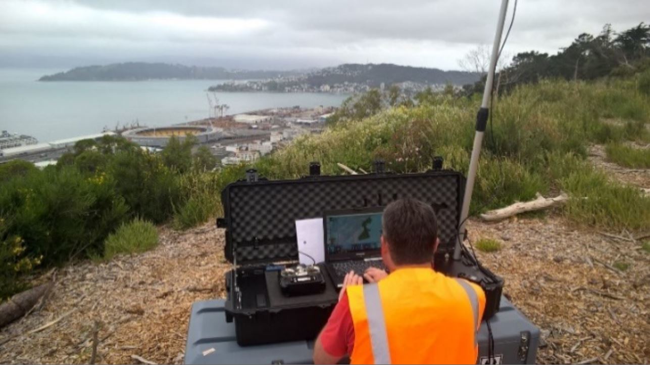
UAV Mapping NZ flying Port Of Wellington harbour area with NZ CAA approval and WCC permissions. 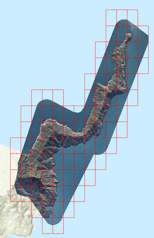
Effective processing even over water 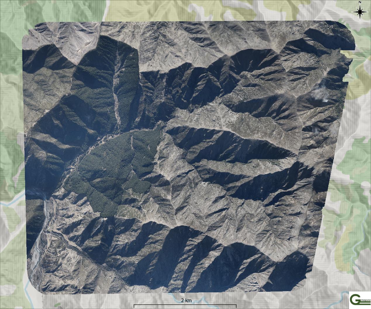
Mountainous terrain easily handled 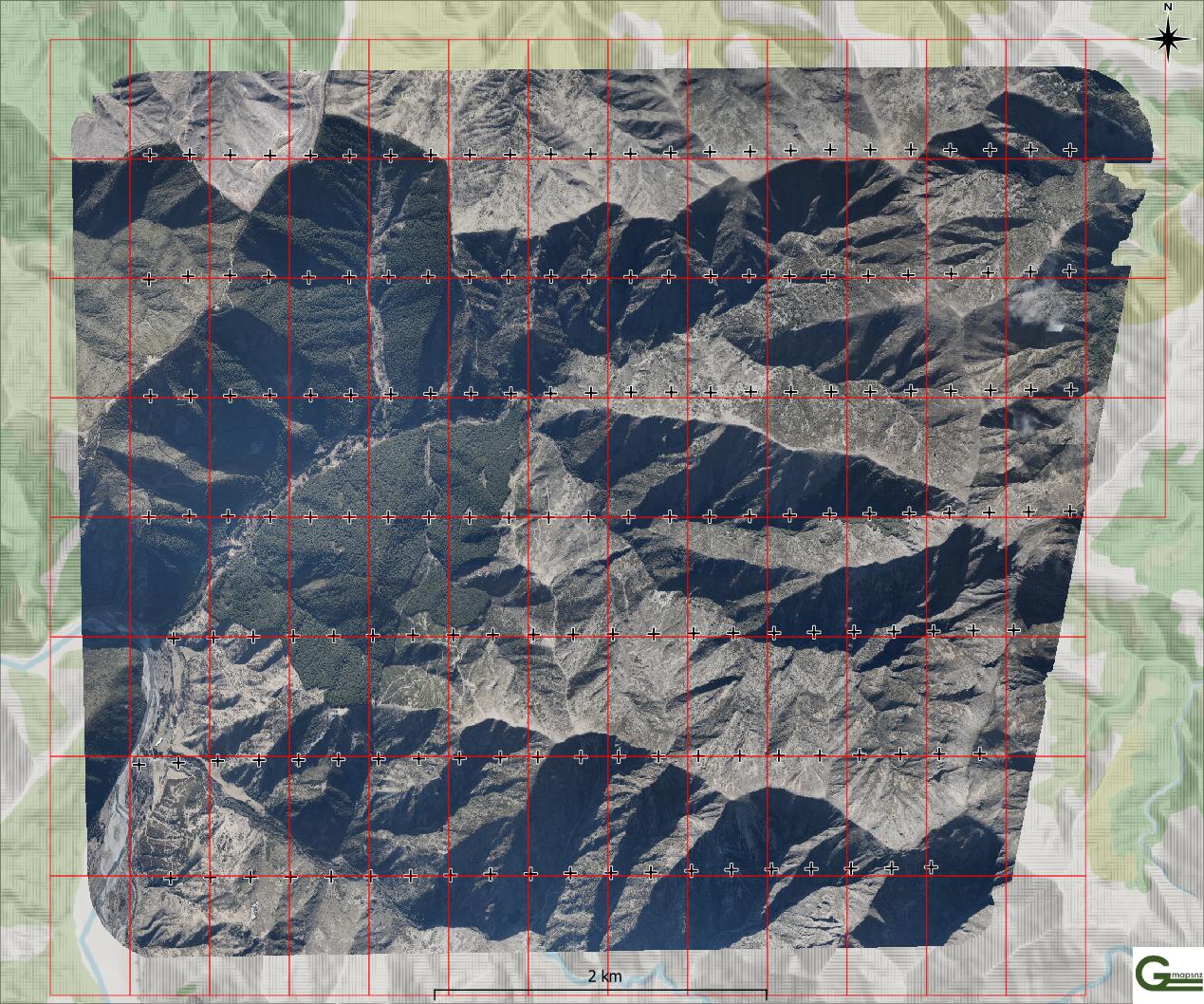
Topographic relief and shading colour-balanced in the mosaic 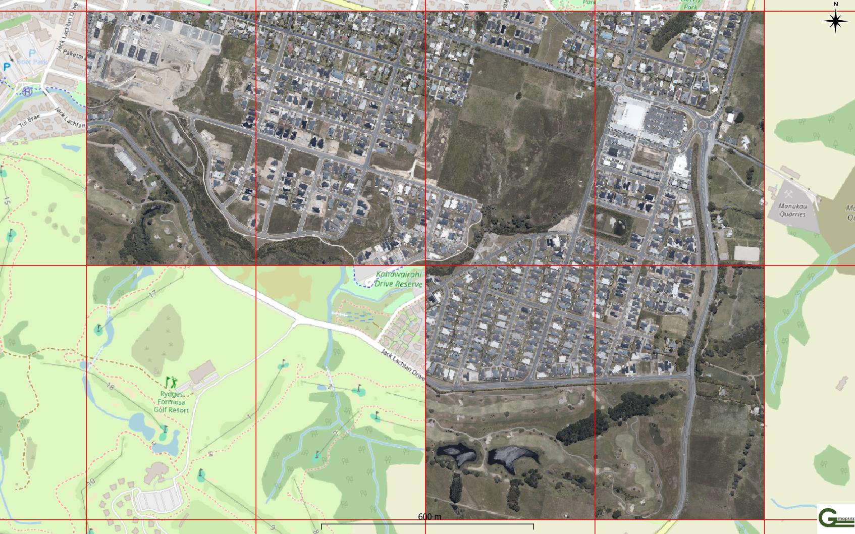
Auckland urban – Beachlands 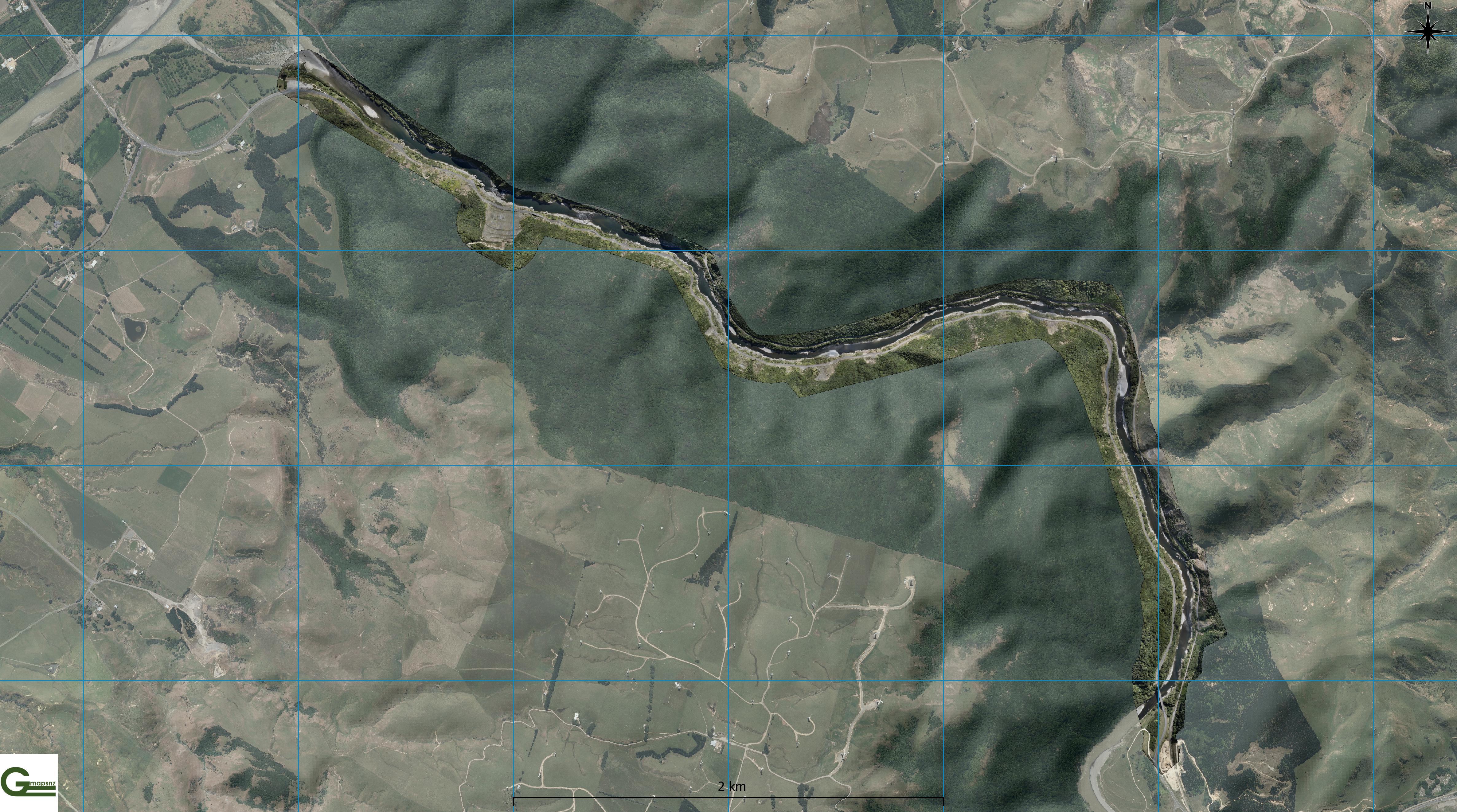
Complex topography, road mapping, done at pace 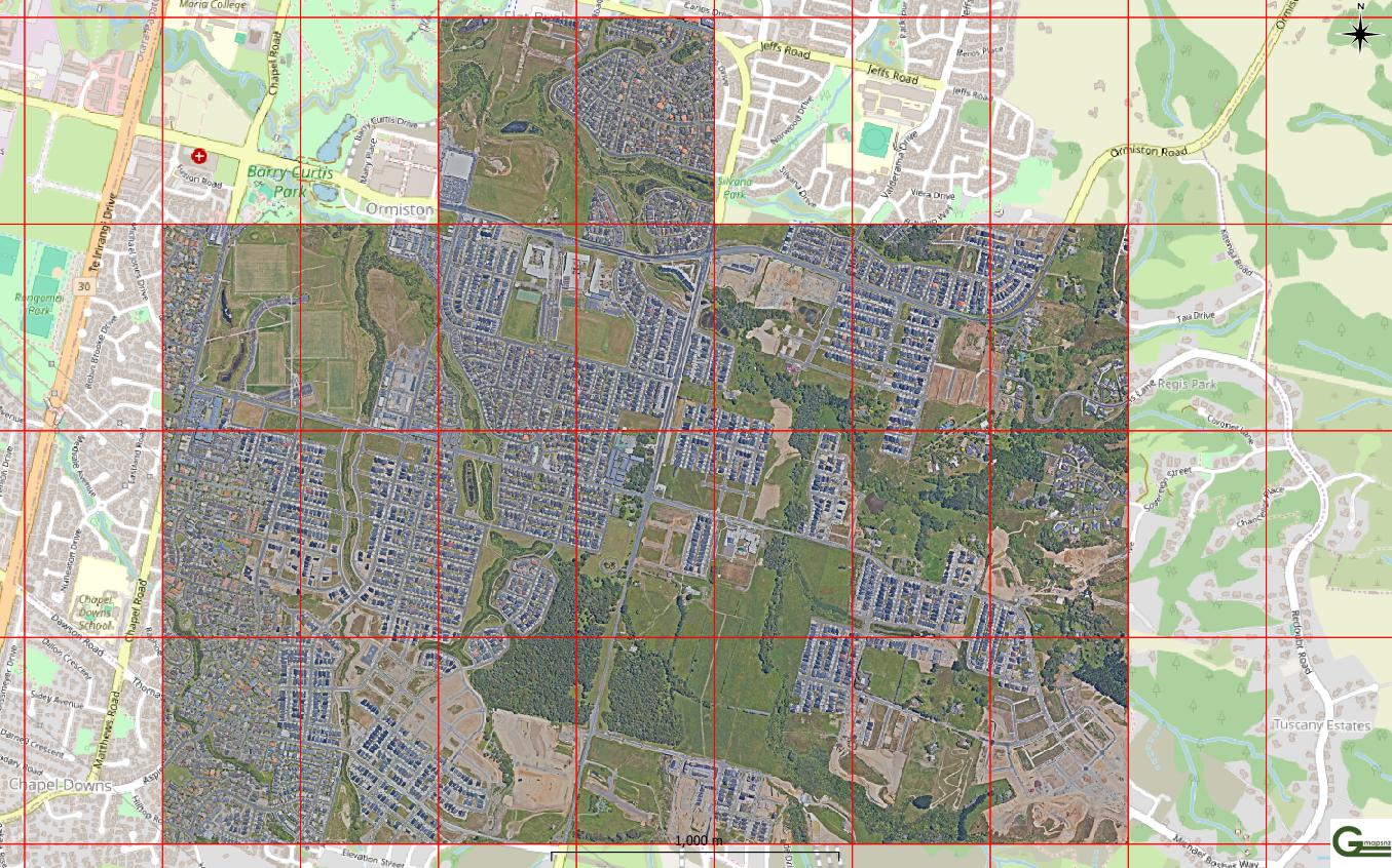
Auckland urban – Flat Bush 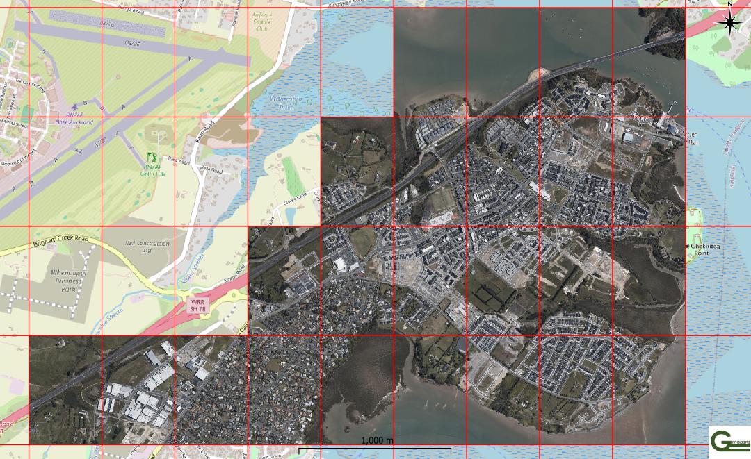
Auckland urban – Hobsonville 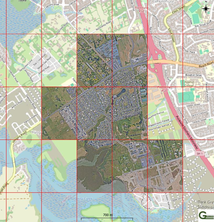
Auckland urban – Karaka 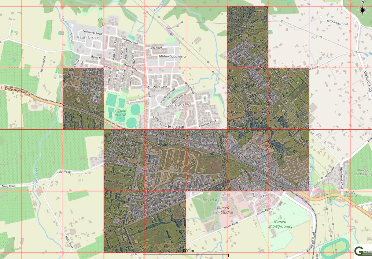
Auckland urban – Kemeu 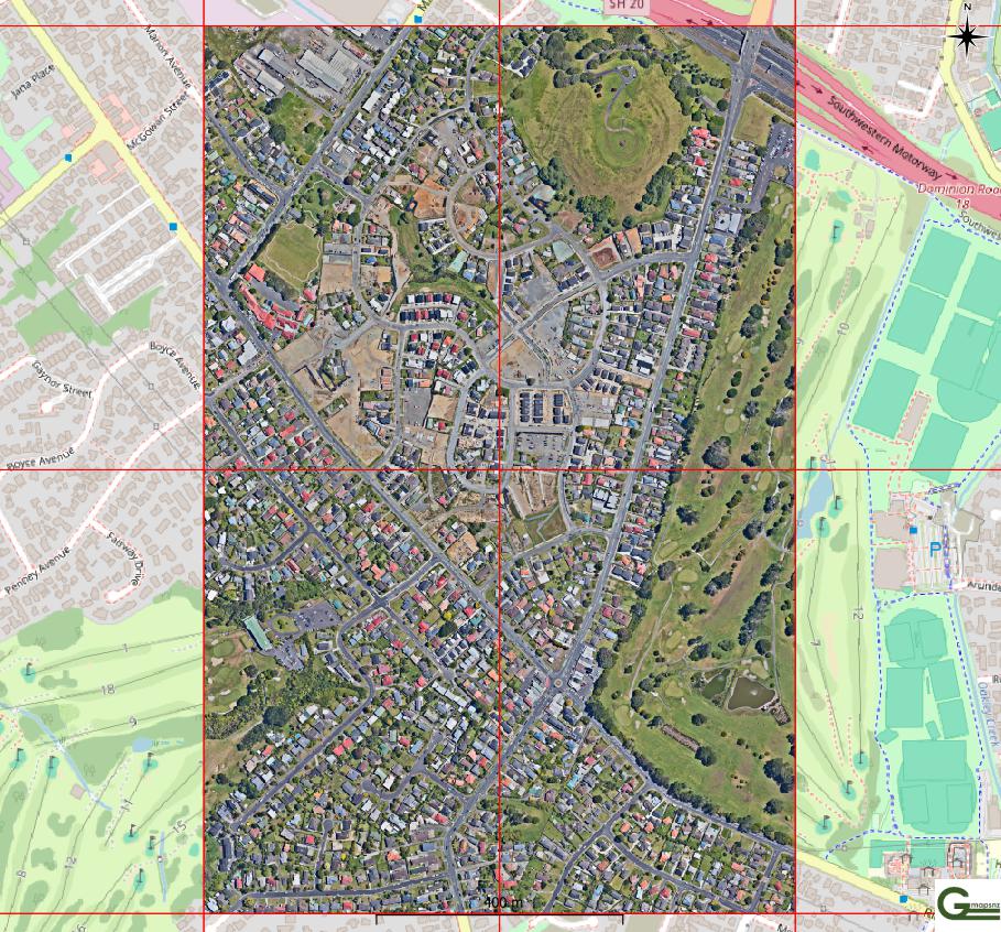
Auckland urban – Mount Roskill 
Auckland urban – New Lynn 
Auckland urban – Papakurā 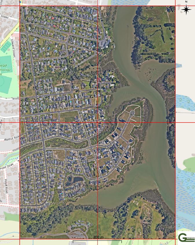
Auckland urban – Riverside 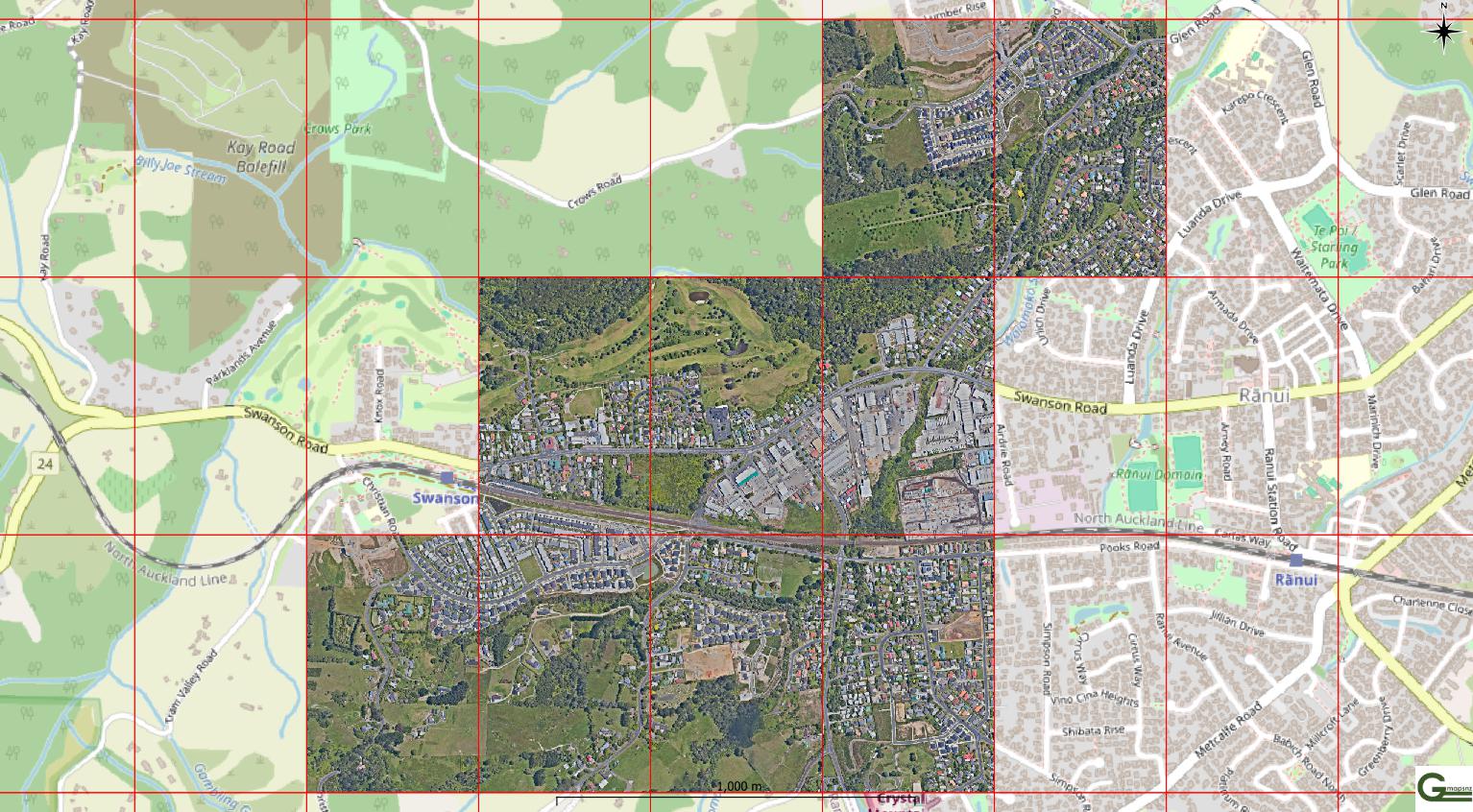
Auckland urban – Swanson 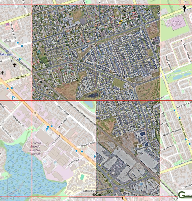
Auckland urban – Takanini 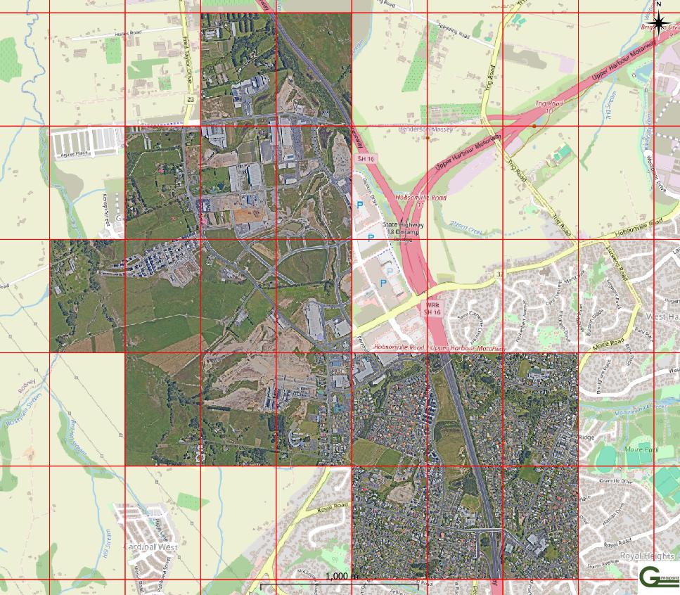
Auckland urban – Westwood 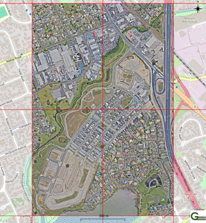
Auckland urban – Waiata 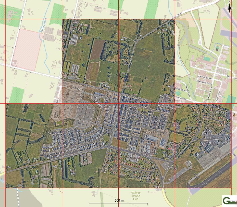
Auckland urban – Whenuāpai 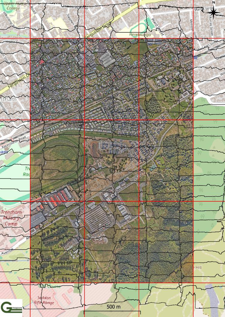
Upper Hutt – tiles updated for the emergency aerial basemap 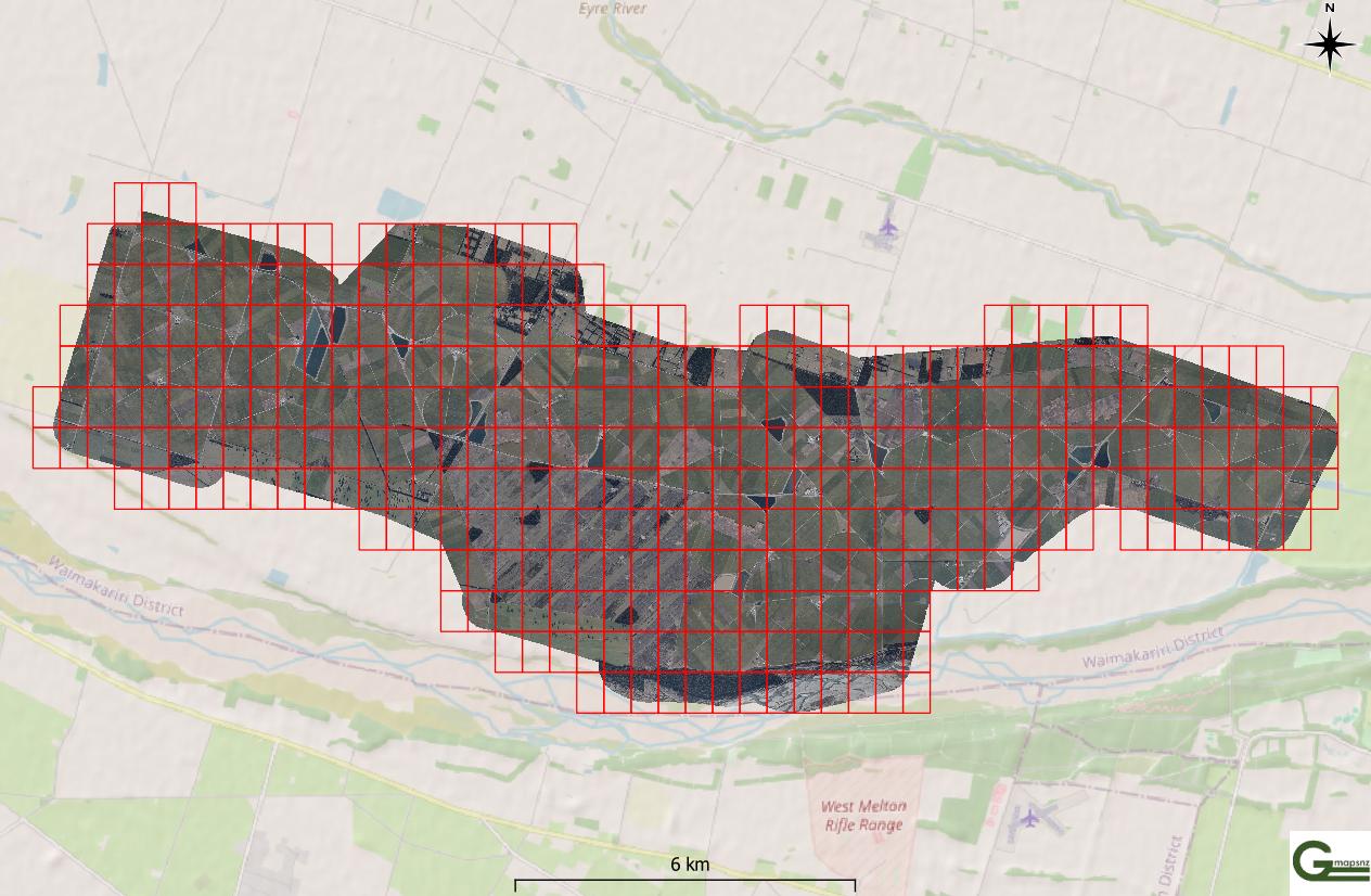
Large areas processed easily in bulk processing. 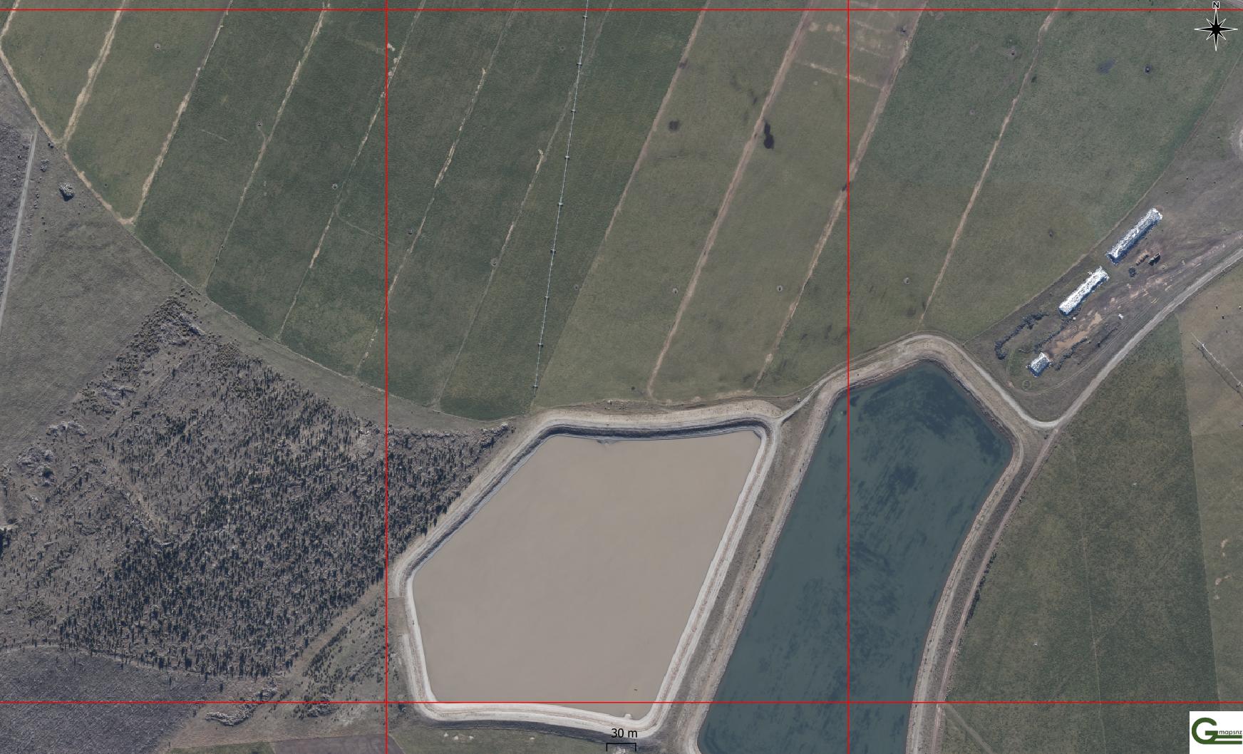
Colour balanced achieved seamlessly and automatically 
Nadir capture over water processed without needing editing, using SimActive Correlator3D. 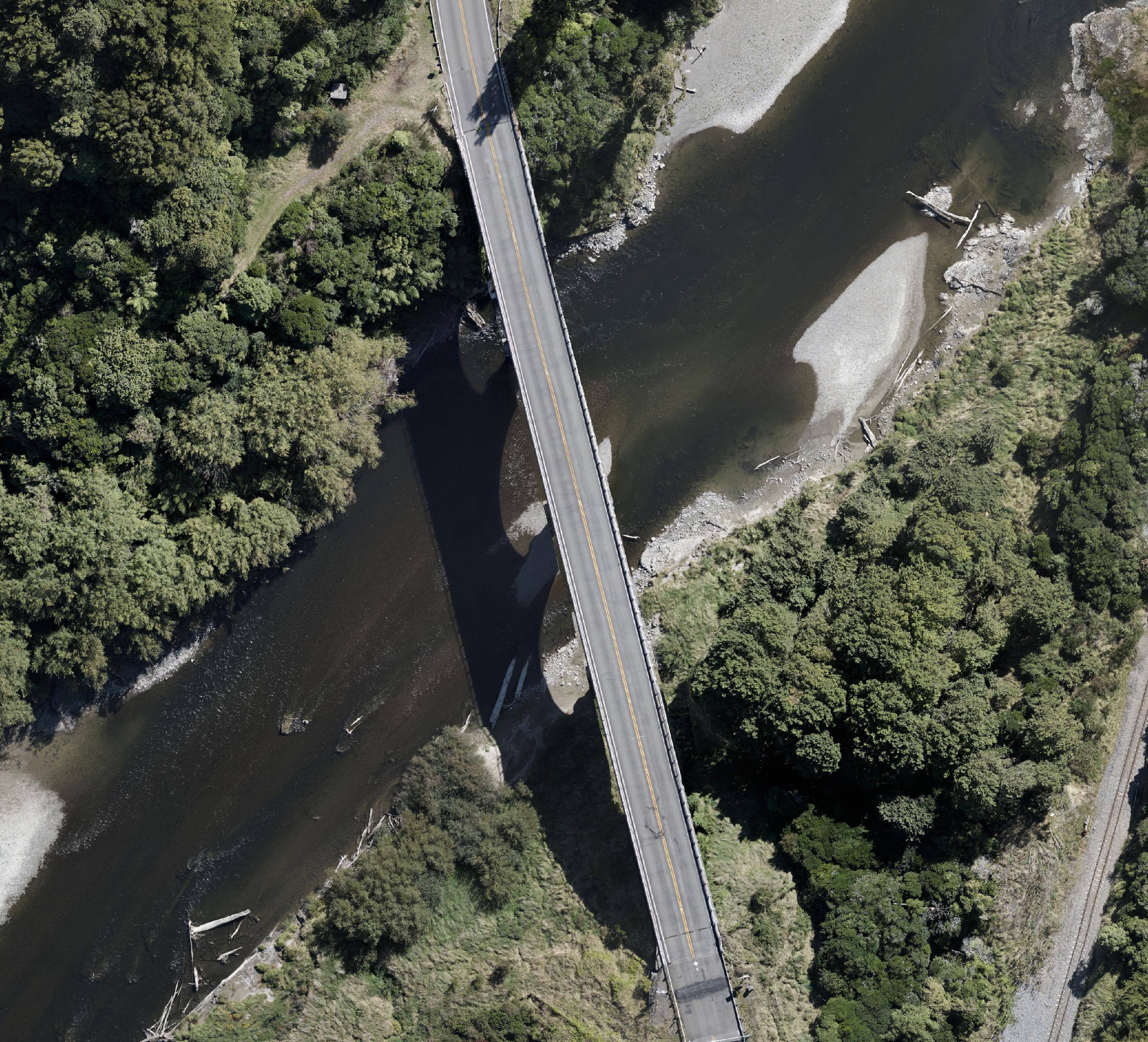
Manawatū Gorge bridge mapped with no vertical displacement. 
GMAPSNZ
At GMAPSNZ, we turn your drone and aerial frames into high-quality, map-ready data. Fast, accurate, and ready to use.
Since 2014, we’ve been helping farmers, councils, developers and surveyors get reliable aerial maps and surface models from their drone flights. Whether you’re capturing paddocks, coastlines, towns or tricky terrain, our job is to make your images work hard for you.
We take care of the complex processing so you can focus on flying. Our proven system, powered by trusted software of SimActive Correlator3D and over a decade of experience, means your data is handled securely and delivered with care.
Need help getting started? We also offer flight planning advice and pilot support, so your imagery is right the first time — saving you time and money.
Why Choose GMAPSNZ?
- Experienced since 2013 in advanced photogrammetry and 3D processing with SimActive Correlator3D
- Support for pilots — we help you plan flights that get the best results
- Fast turnaround on large volumes of imagery
- Secure handling of your data, from upload to delivery
- Outputs that last — orthophotos, point clouds, surface models, AI/ML ready data, and more
Let’s talk to help you take off.
Together, we’ll make sure your data delivers the results you need.


